12. North Point State Park
Main_Content
 |
Introduction
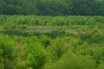
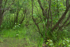
North Point State Park site is a 8.5 acre (5.1 acre forested, 3.0 acre scrub shrub, 0.4 acre emergent) wetland created from agricultural land. It is located within the Patapsco River - Baltimore Harbor Area (02-13-09-03) watershed of Baltimore County.
|
Construction
The site was constructed and planted in spring 1995 by the Nontidal Wetlands and Waterways Division, the Baltimore County Soil Conservation District, and the State Natural Resource Conservation Service Office.
|
Status
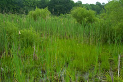
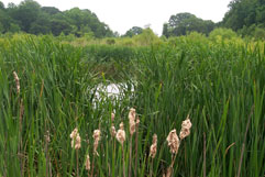
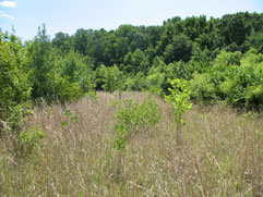
In 2007, MDE conducted intensive site monitoring which included installing IRIS tubes, evaluating the soil, monitoring hydrology multiple times during the spring growing season, monitoring transects, and scoring the site. The installed iris tubes demonstrated that there was sufficient soil reduction to satisfy the wetland hydrology requirement in three out of the four areas sampled. The soils were not hydric, but many of the areas were showing signs of reduction. While much of the site was dominated by hydrophytic vegetation, some areas were dominated by upland vegetative species. From these indicators, it was clear that a portion of the site was not wet enough to be classified as wetland. Additionally, the invasive plant species Phragmites had established in one area. In spite of these issues, the system has developed into a diverse wetland, providing a moderate level of functions including filtering sediment/pollutants, reducing headwater flood flow, providing wildlife habitat, and providing recreational and aesthetic values. Using the newly developed Mitigation Site Scoring Method, MDE gave this site a score of 83/100.
|
 |
 |
 |
 |
A publically-accessible trail surrounds the wetland. Click on this link to see an aerial photo and directions.
Back to Wetland Restoration, Preservation, and Mitigation page