Maryland Shoreline Stabilization Mapper
Main_Content
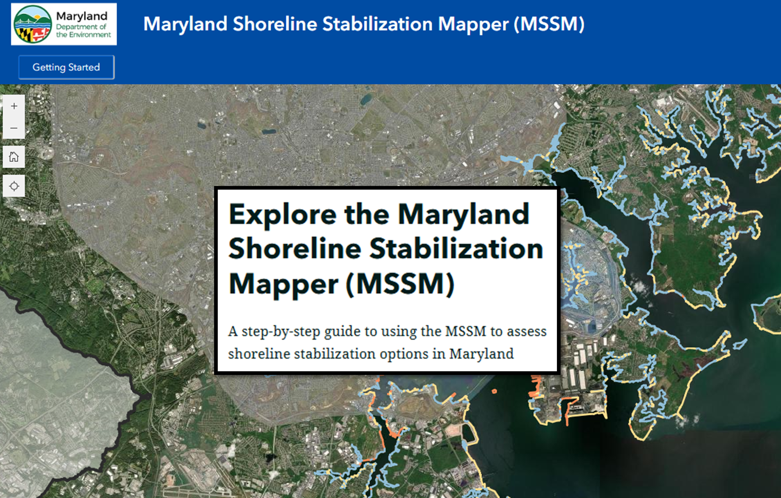
The Maryland Shoreline Stabilization Mapper (MSSM) tool delineates areas where living shorelines are a suitable treatment option for shoreline erosion control, and where Waivers for traditional hardened erosion control structures should be permissible given current shoreline conditions and energy regimes. MDE has developed this mapping tool as required by regulations at COMAR 26.24.04.01-1A. All counties are now available.