MDE Casselman River Watershed Plan
Main_Content
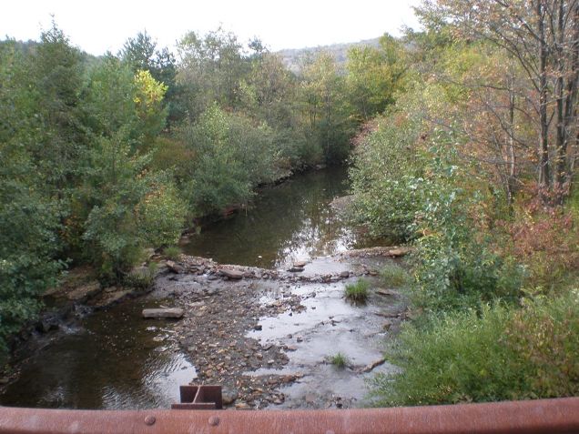
 The Casselman River Watershed, located in Garrett County, Maryland flows from its headwaters near the Savage River State forest to the state line with Pennsylvania. The main river is approximately 20 miles in length from the headwaters in the North Branch to the Maryland/ Pennsylvania line.
In 1996, the Casselman River (MD Segment 05-02-02-04) was placed on Maryland’s 303(d) list for low pH impairment (acidic). A Total Maximum Daily Load (TMDL) for pH was developed and approved for the Casselman River watershed in 2008. The Casselman is a high quality mountain stream noted for its populations of endangered species such as brook trout, stonecats, and hellbenders in its healthier reaches. A significant reduction in the native brook trout population has been documented in the tributaries of the Casselman River with a pH impairment.
The document available below incorporates phased mitigation strategies to eliminate pH impairments associated with acid mine drainage (AMD) from abandoned mine lands (AML) or episodic atmospheric deposition and to monitor the effects of mitigation efforts on biological communities. This plan meets EPA's A-I criteria for watershed-based plans pursuant to the Clean Water Act Section 319 Nonpoint Source Program guidance.