The Maryland Department of the Environment’s Land Restoration Program (LRP) provides this geographic mapping service and data resource for project sites in the Land Restoration Program. "LRP-MAP" is provided as a public service. The LRP-MAP data is provided for guidance and general information purposes. Users should not rely upon the data for making final decisions regarding the environmental status of a property.
A keyhole markup language file "KML" version of the LRP project sites geographic information can also be accessed via the Help Tab on LRP-MAP.
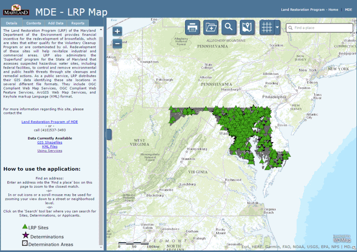
MDE is currently upgrading the LRP-Mapping site and the beta version of the new site can now be accessed.
Indemnification and Warranty
The State of Maryland, its officers, agents, employees, and the owners or custodians of spatial data products in LRP-MAP make no warranty, expressed or implied, as to the use or appropriateness of the data, and there are no warranties of merchantability or fitness for a particular purpose or use.
Contact Information
Submit an
electronic comment or call us directly at:
Land Restoration Program
1800 Washington Boulevard, Suite 625
Baltimore, MD 21230-1719
1-800-633-6101 ext 3493
